Digital Terrain Models
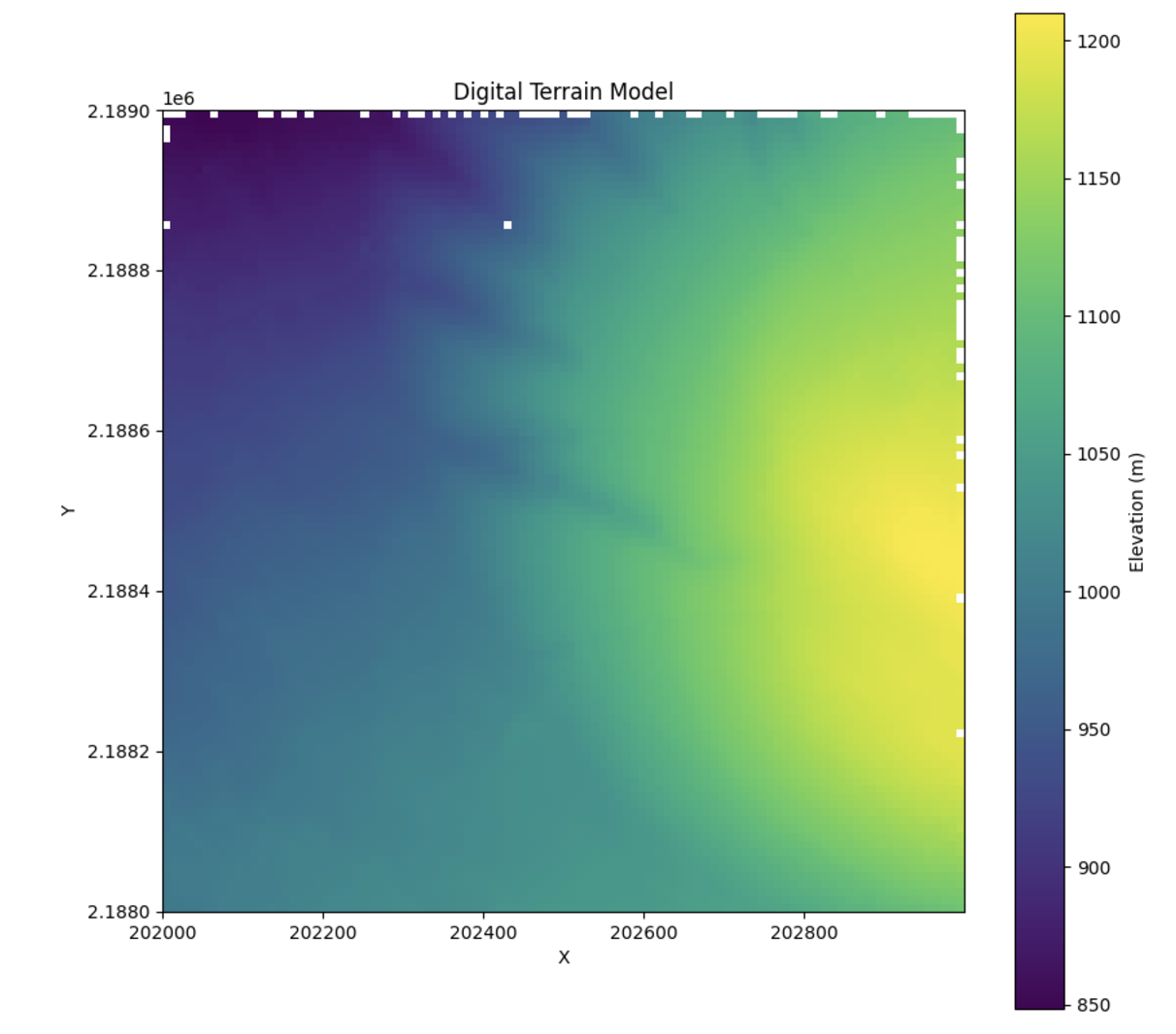
Given a classified point cloud, pyforestscan can create, save, and visualize digital terrain models (DTMs) as geotiffs:
 1
 2
 3
 4
 5
 6
 7
 8
 9
10
11
12 | from pyforestscan.calculate import generate_dtm
from pyforestscan.filters import filter_select_ground
from pyforestscan.handlers import create_geotiff
from pyforestscan.visualize import plot_metric
ground_points = filter_select_ground(classified_arrays)
dtm, extent = generate_dtm(ground_points, resolution=10.0)
create_geotiff(dtm, "../example_data/20191210_5QKB020880_DS05_dtm.tif", "EPSG:32605", extent)
plot_metric('Digital Terrain Model', dtm, extent, metric_name='Elevation (m)', cmap='viridis', fig_size=None)
|


