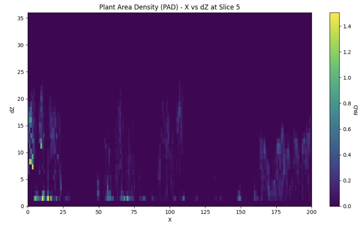
Plant Area Density (PAD)
Theory
Plant Area Density (PAD) is a measure of the amount of plant material in a vertical slice of the forest, derived from airborne LiDAR data. The calculation follows the method outlined in Kamoske et al. 2019.
Where:
PAD_{i-1,i}represents the Plant Area Density between two adjacent voxels, indexed by ( i-1 ) and ( i ).- ( S_e ) is the number of lidar pulses entering the voxel.
- ( S_t ) is the number of lidar pulses exiting the voxel.
- ( k ) is the extinction coefficient from the Beer-Lambert Law.
- ( Delta z ) is the height of each voxel.
The equation calculates the natural logarithm of the ratio of entering and exiting lidar pulses, scaled by the inverse of the extinction coefficient and the voxel height. This quantifies the density of plant material between the two voxels.
Calculating PAD
To calculate PAD:
1 2 3 4 5 6 7 8 9 10 11 12 13 14 15 | |

References
Kamoske, Aaron G., Kyla M. Dahlin, Scott C. Stark, and Shawn P. Serbin. 2019. "Leaf Area Density from Airborne LiDAR: Comparing Sensors and Resolutions in a Temperate Broadleaf Forest Ecosystem." Forest Ecology and Management 433 (February): 364--75. https://doi.org/10.1016/j.foreco.2018.11.017.